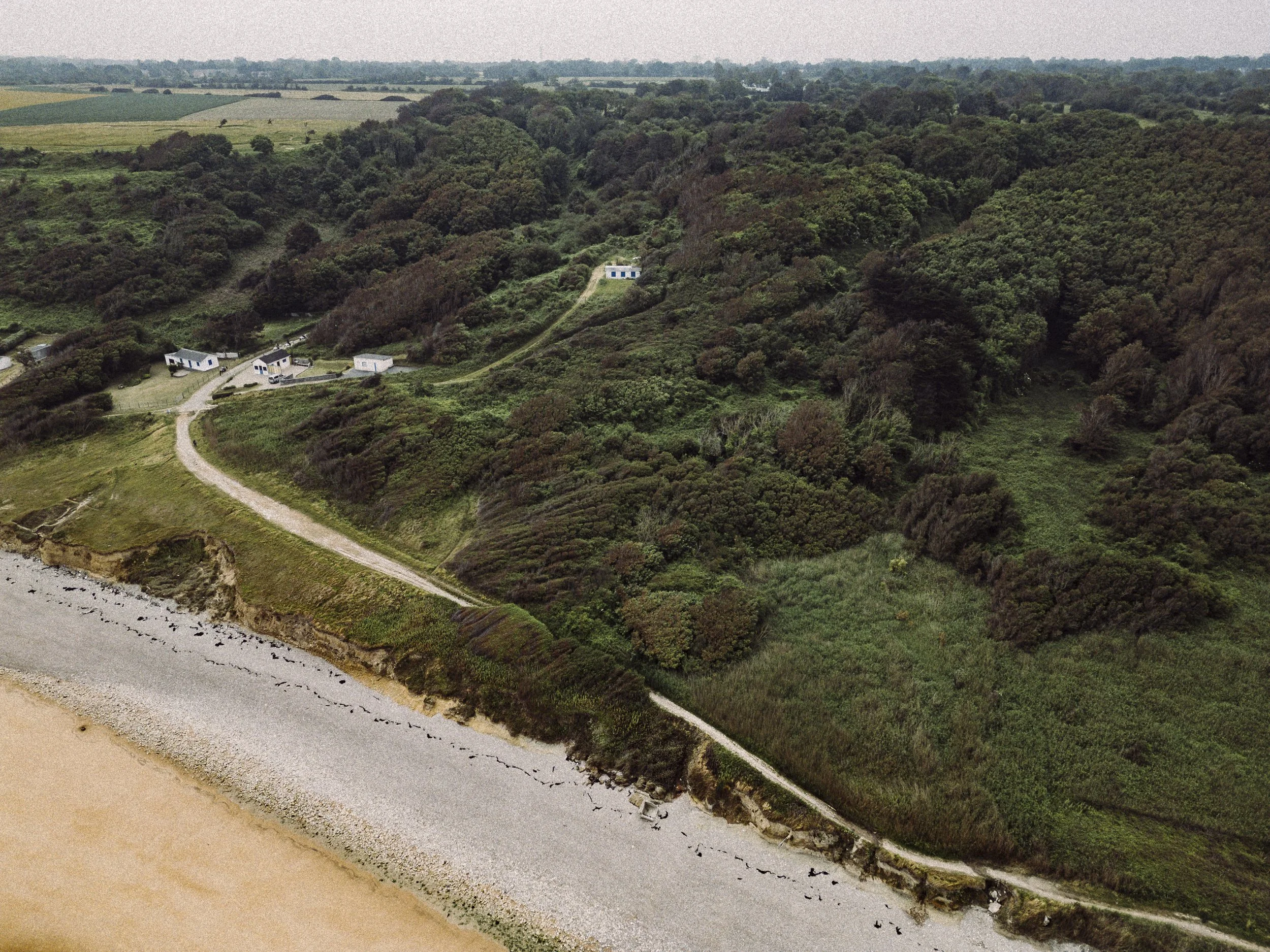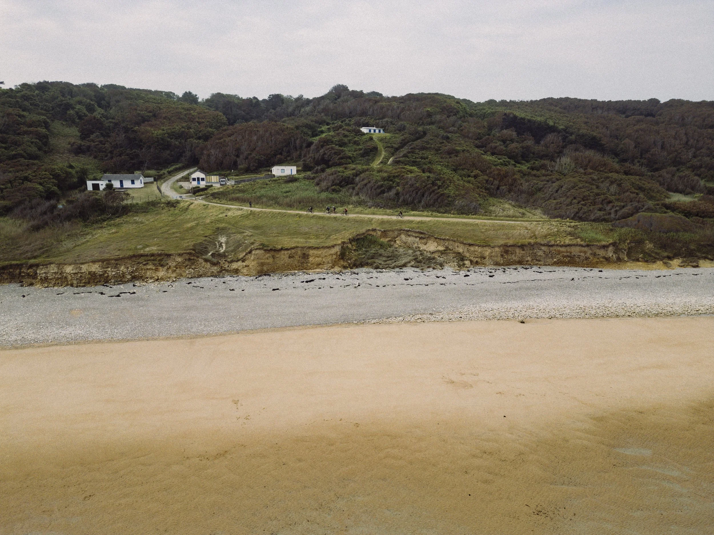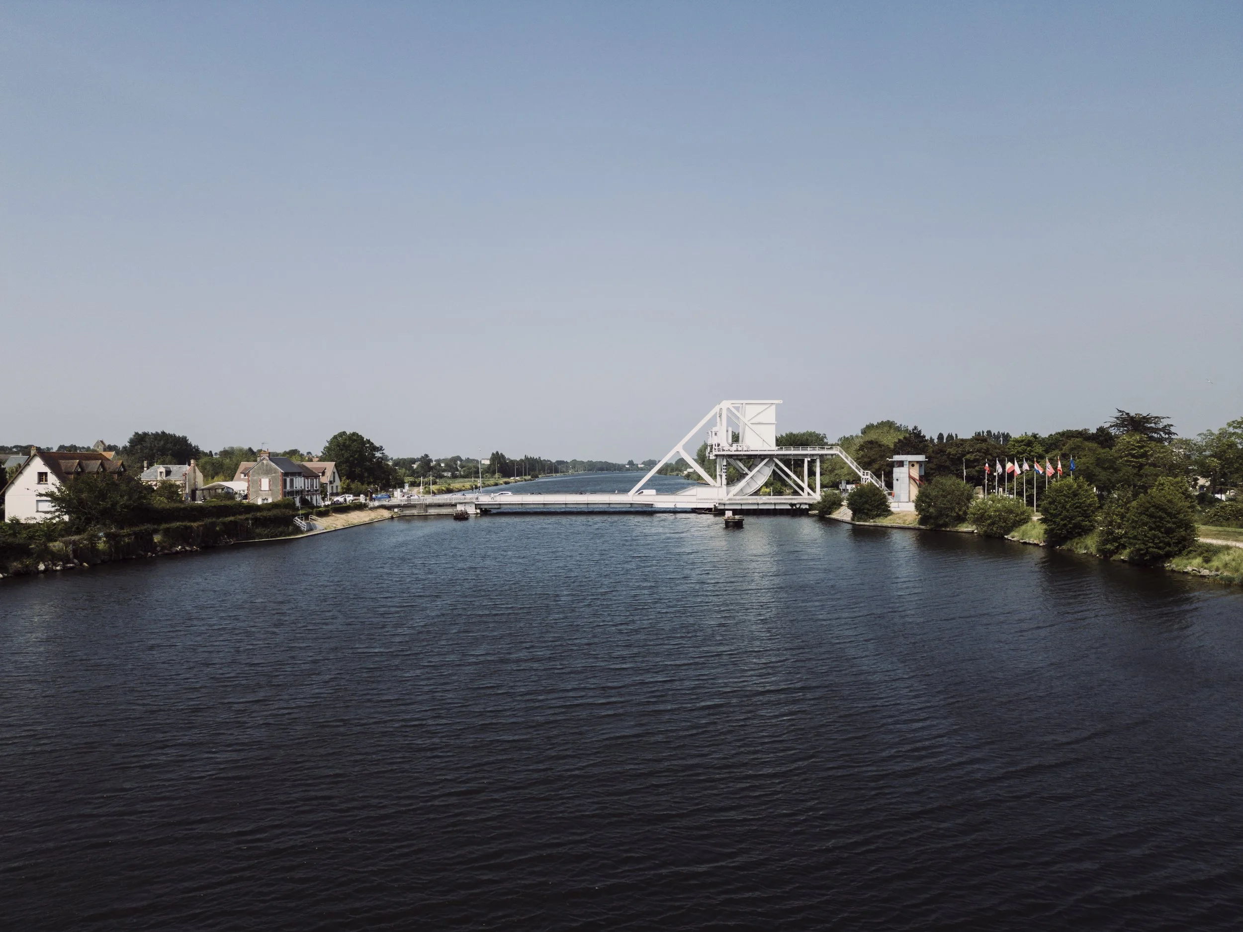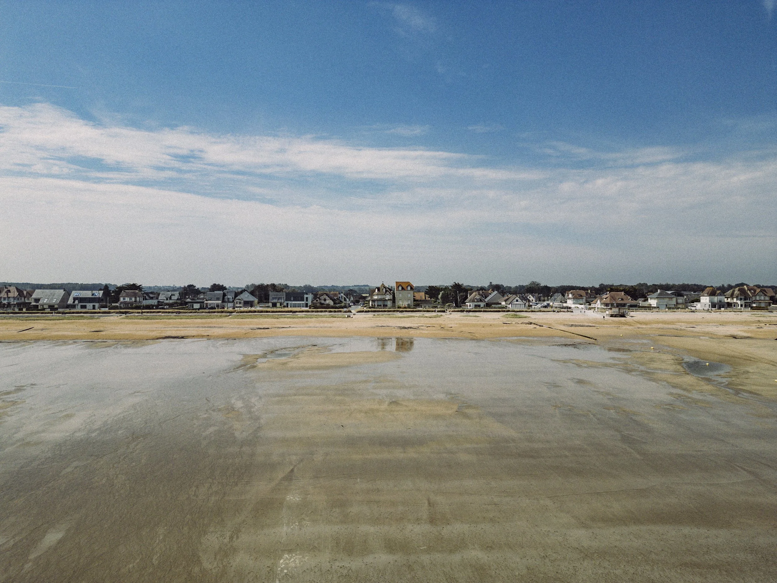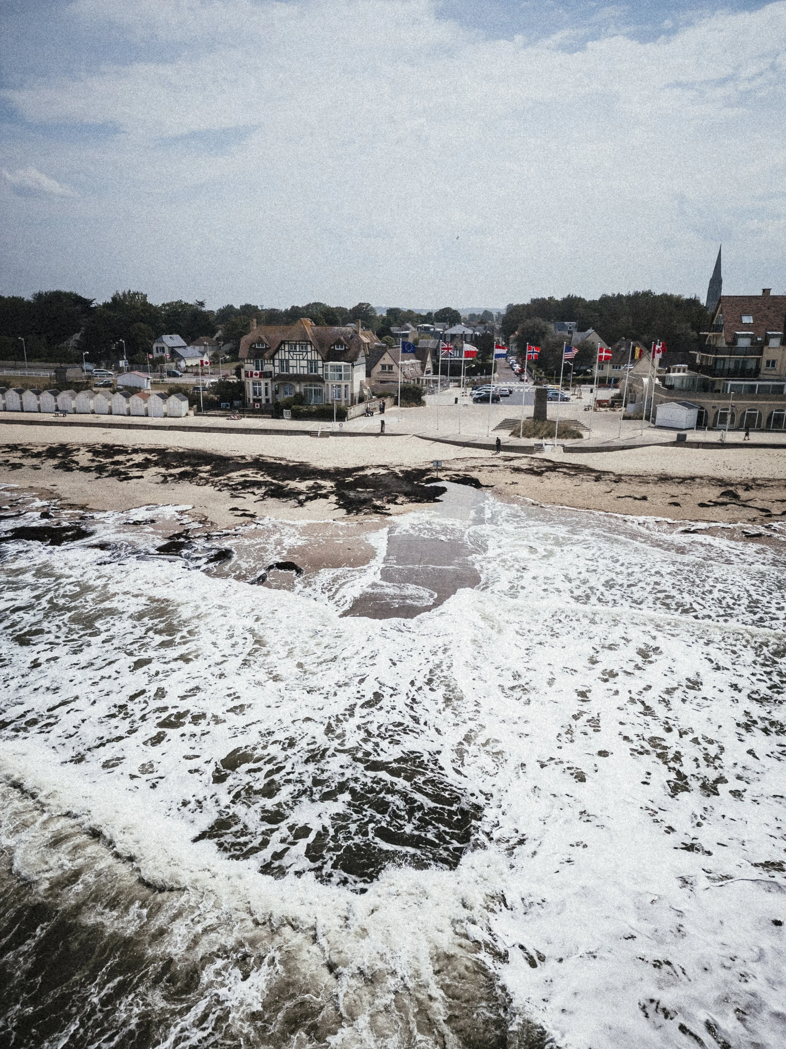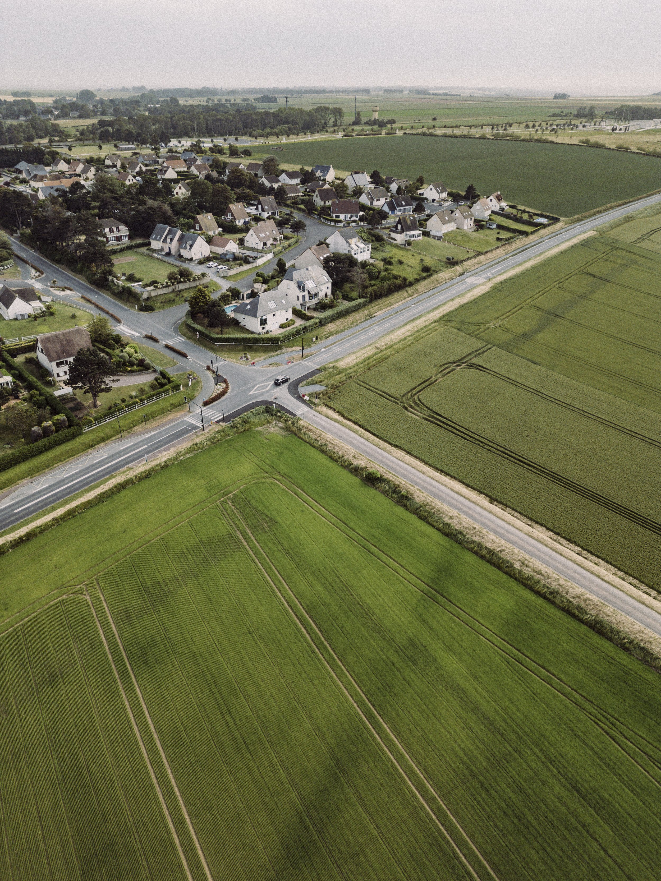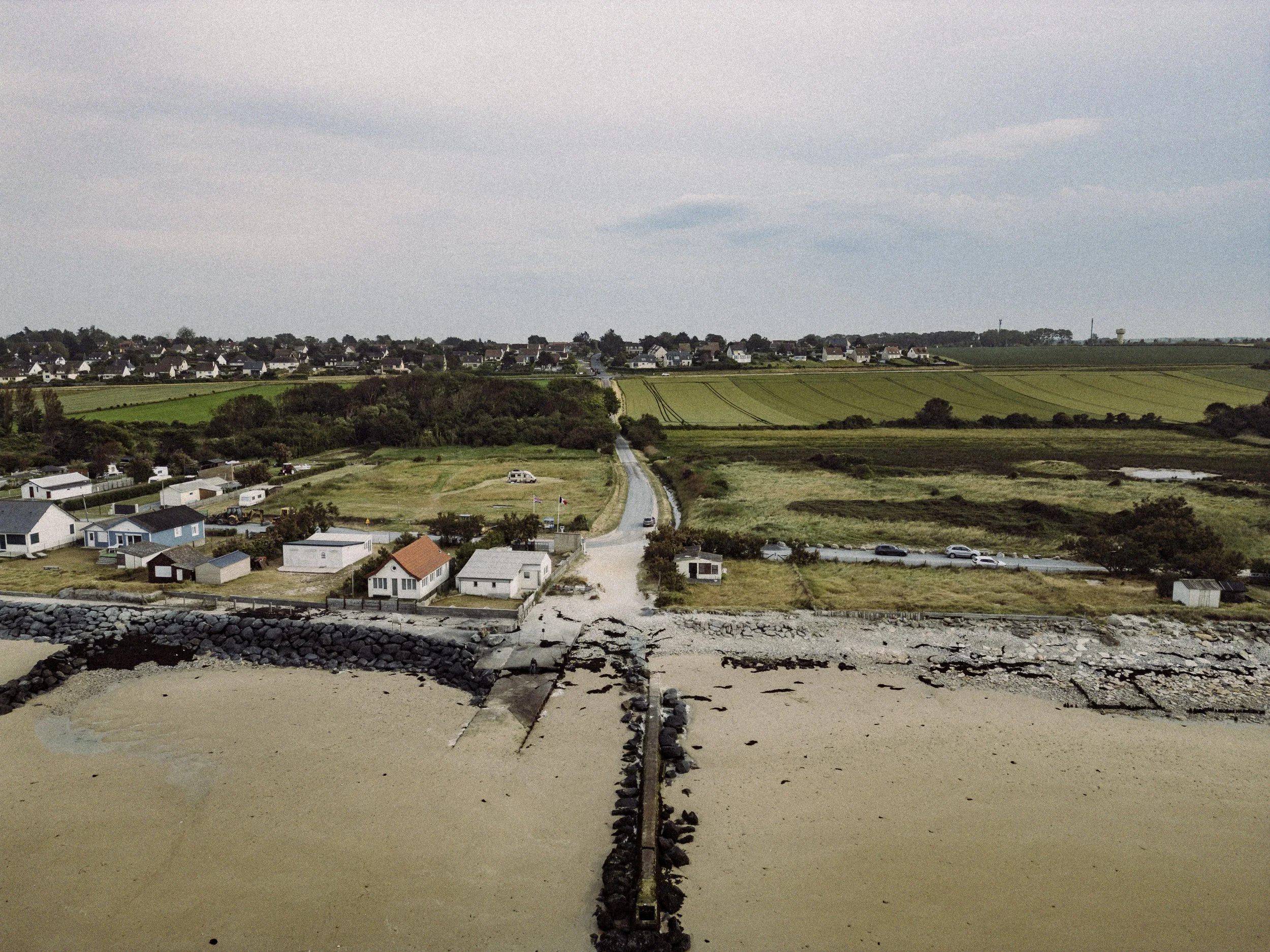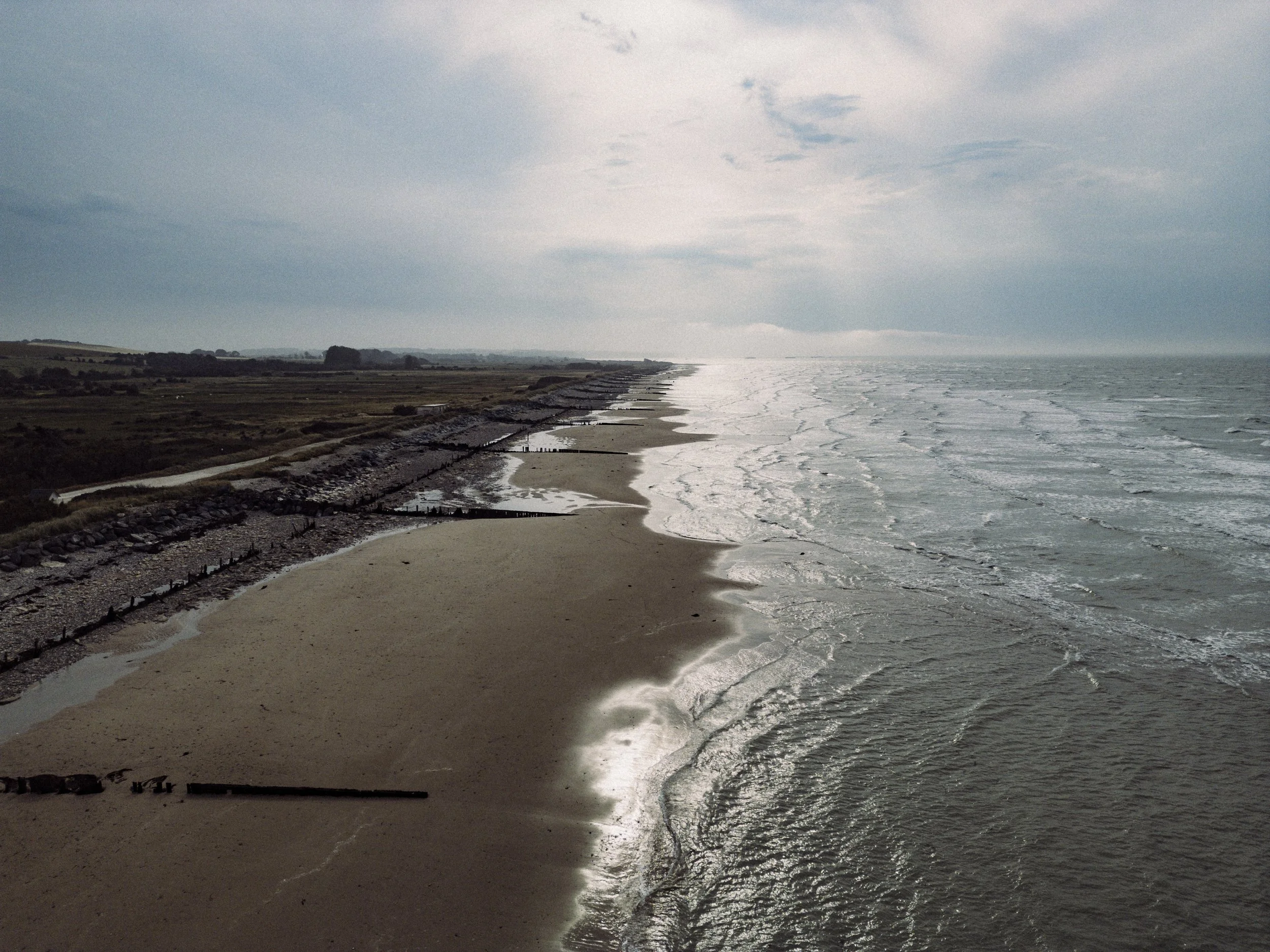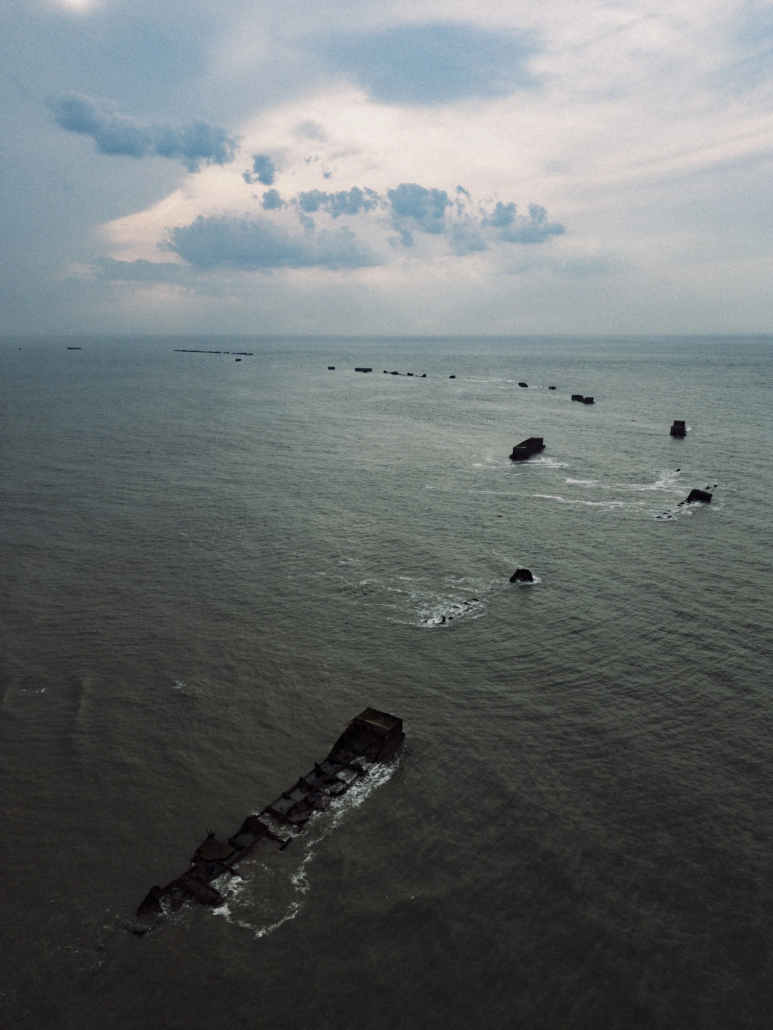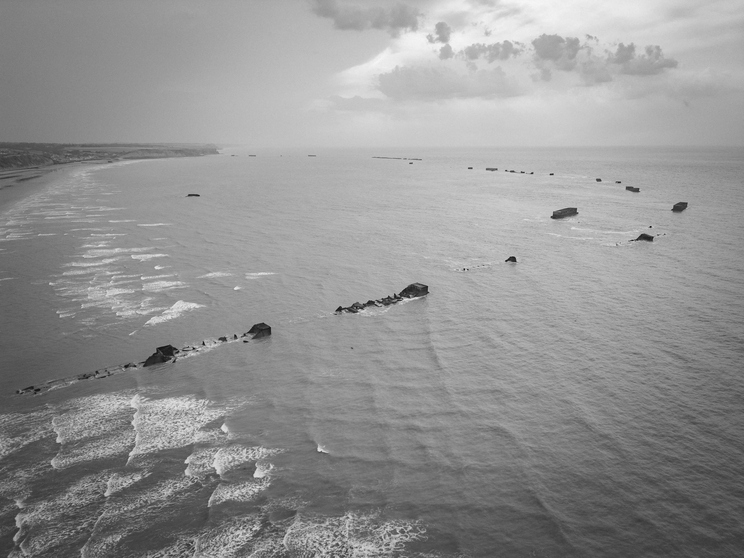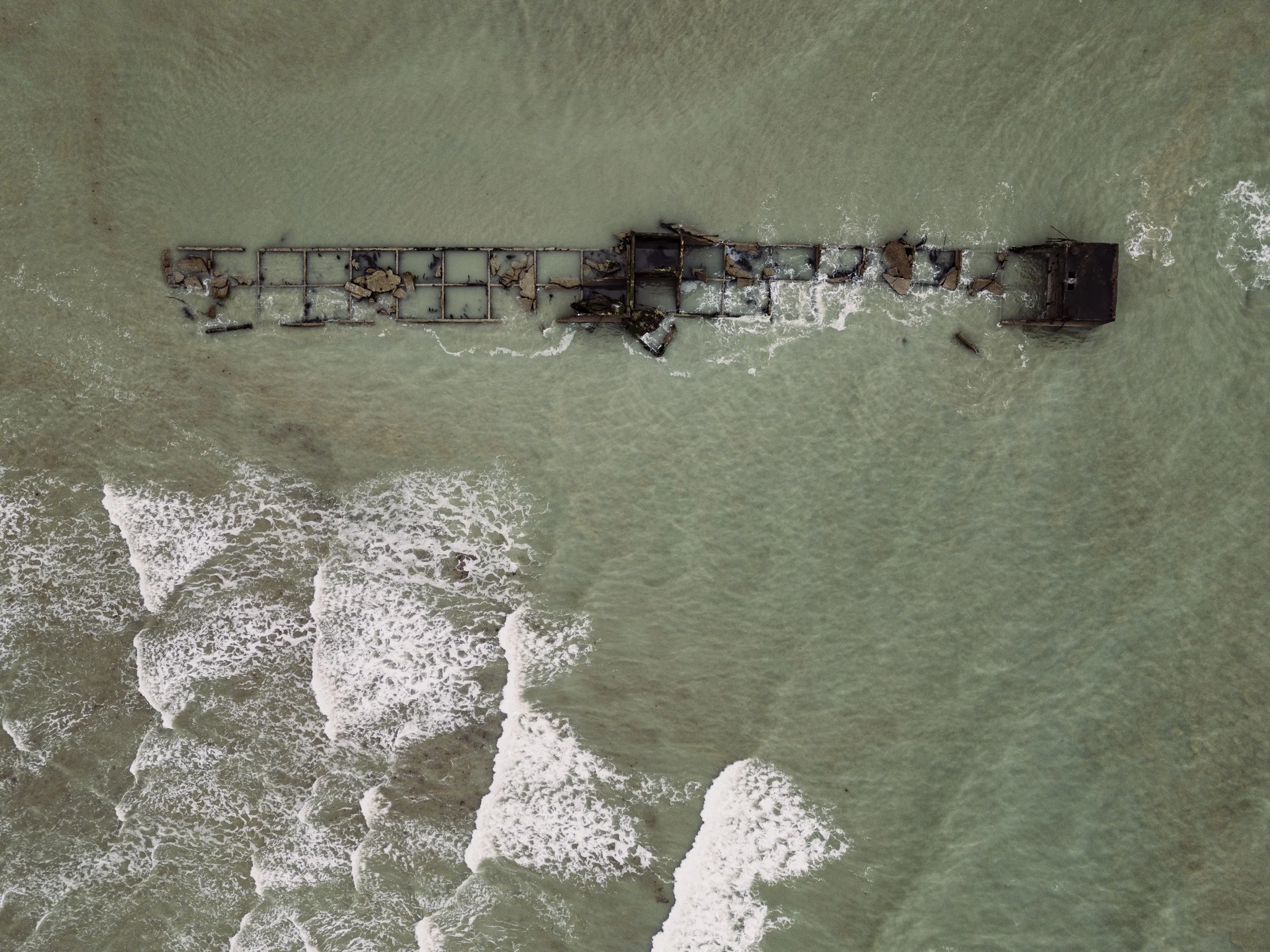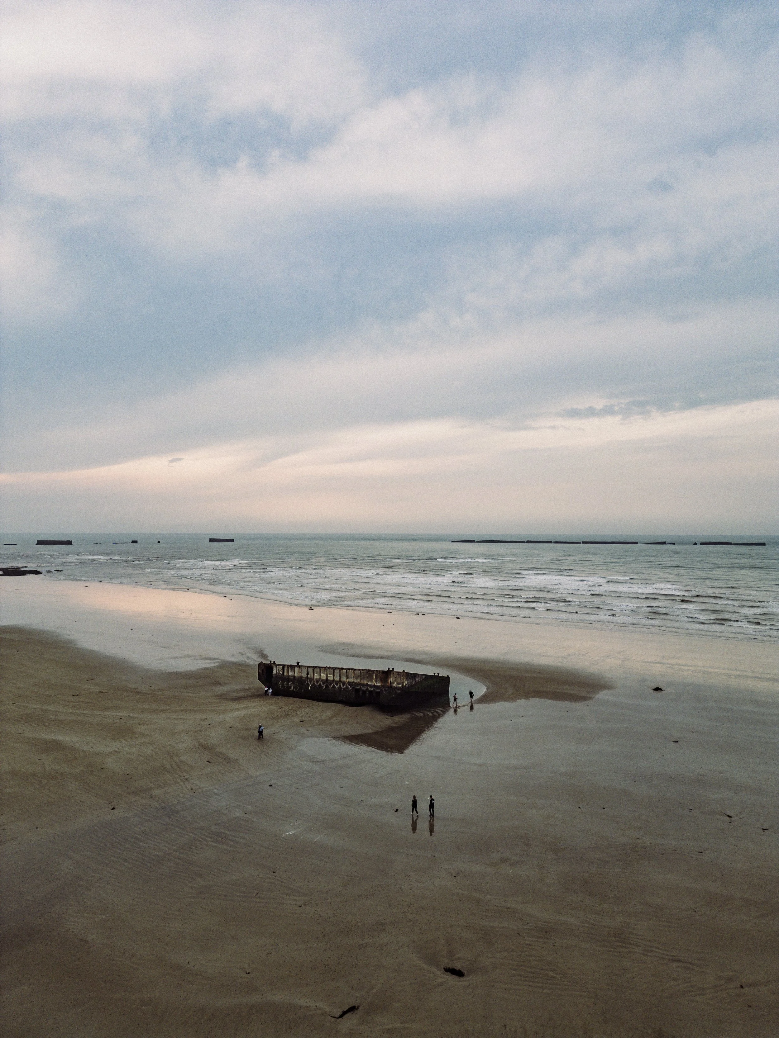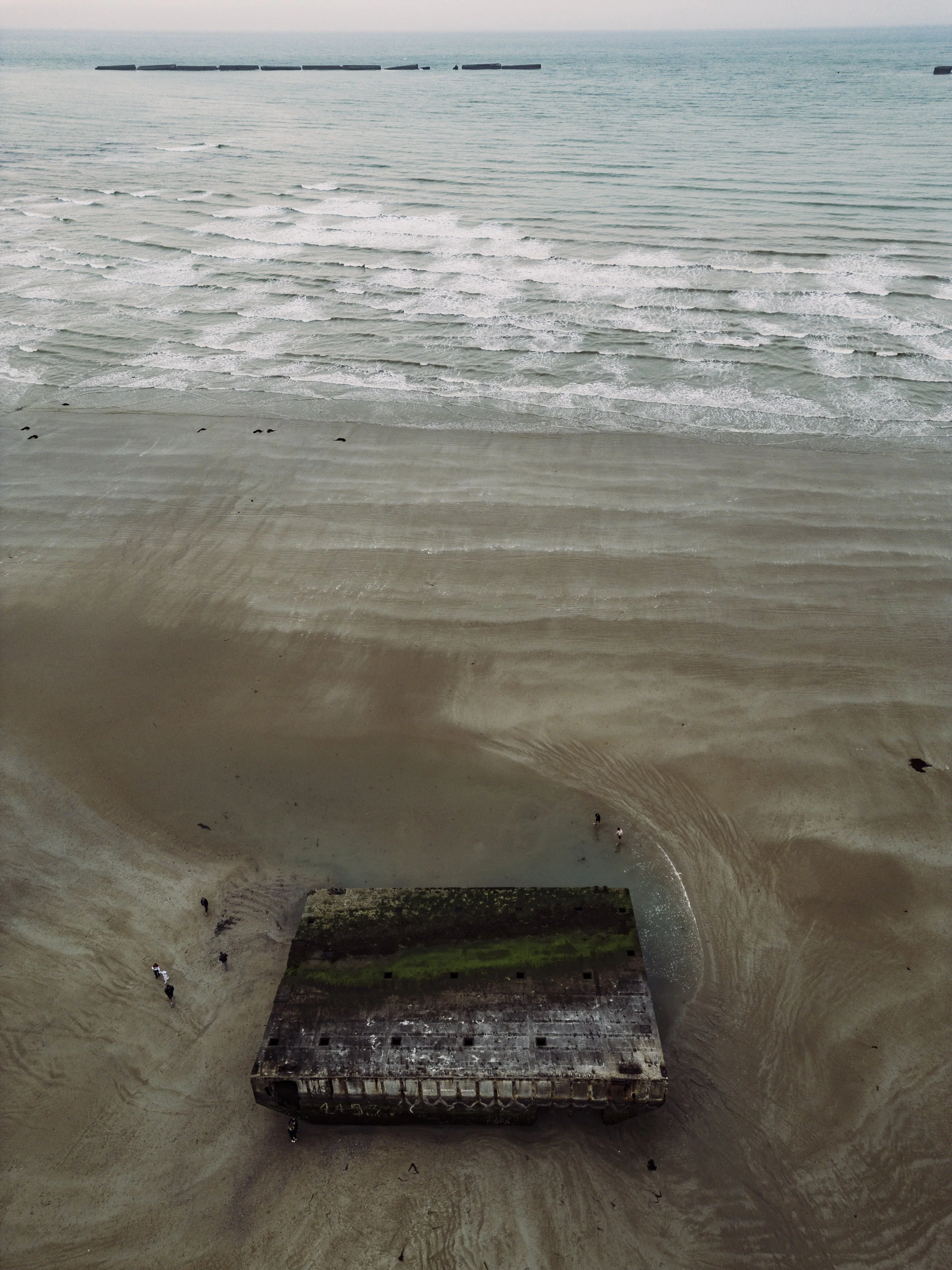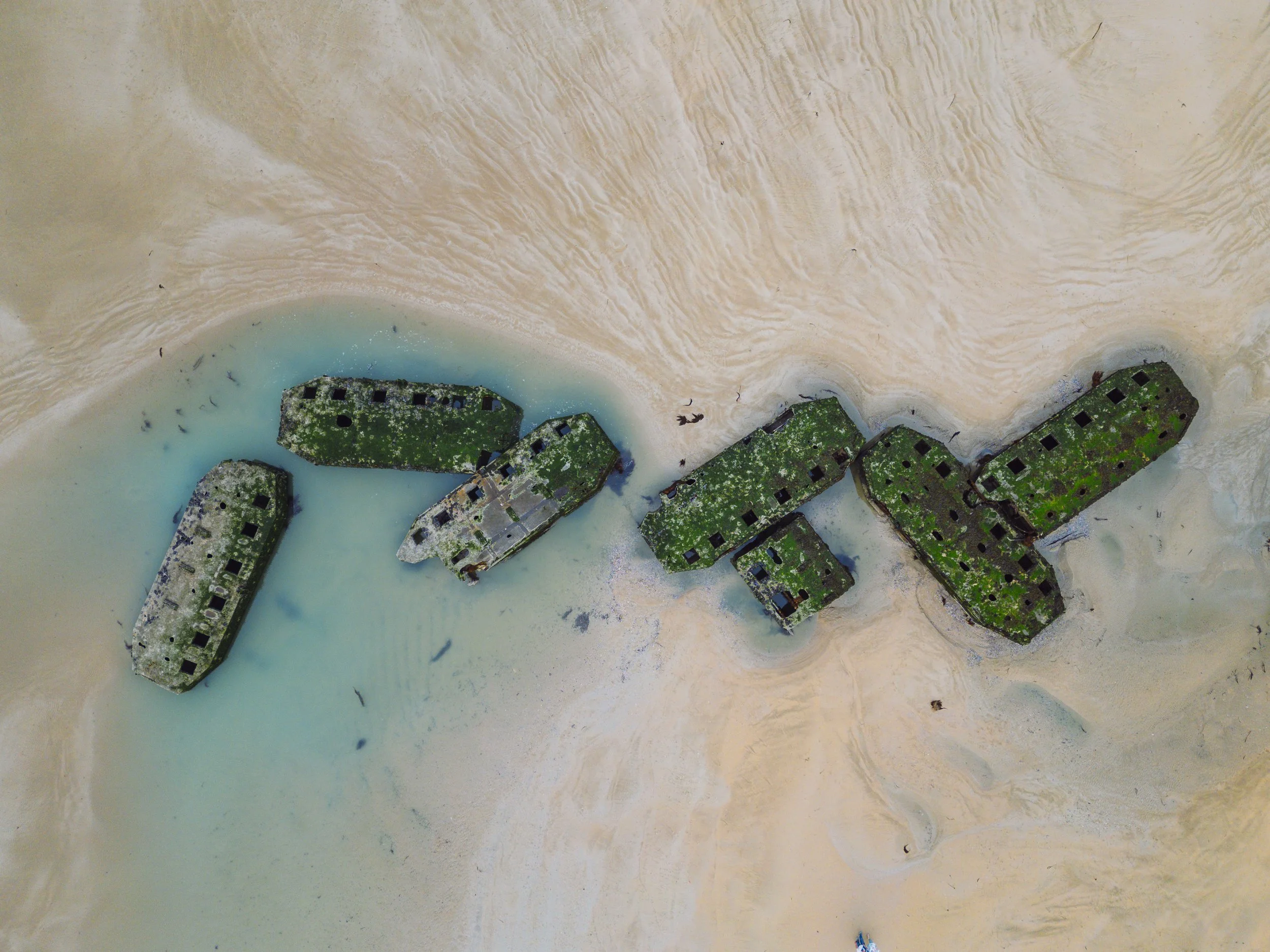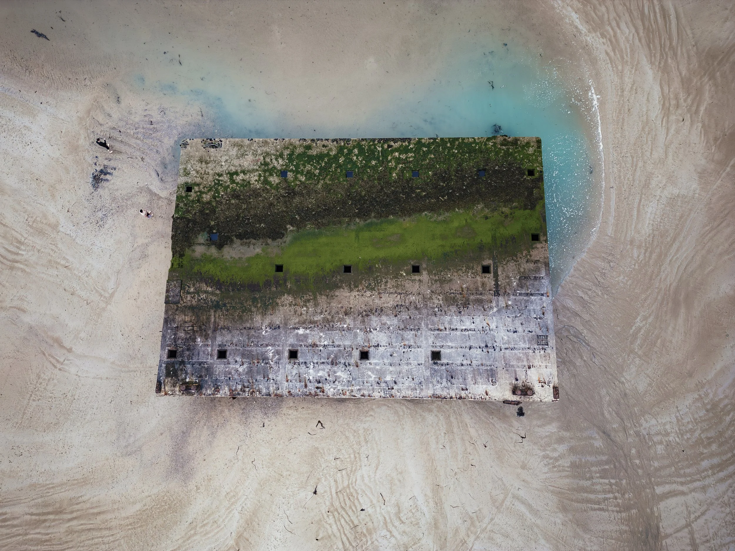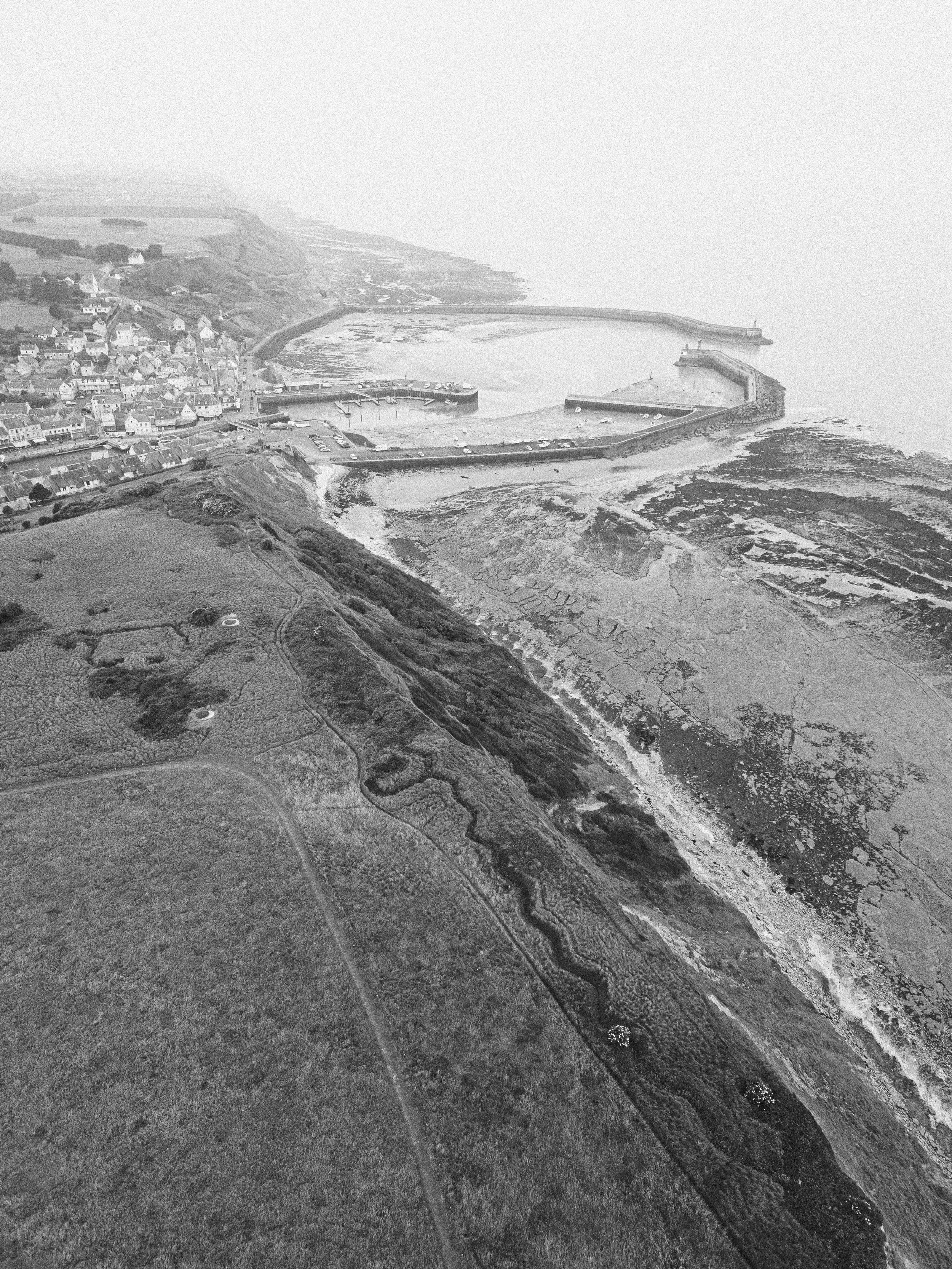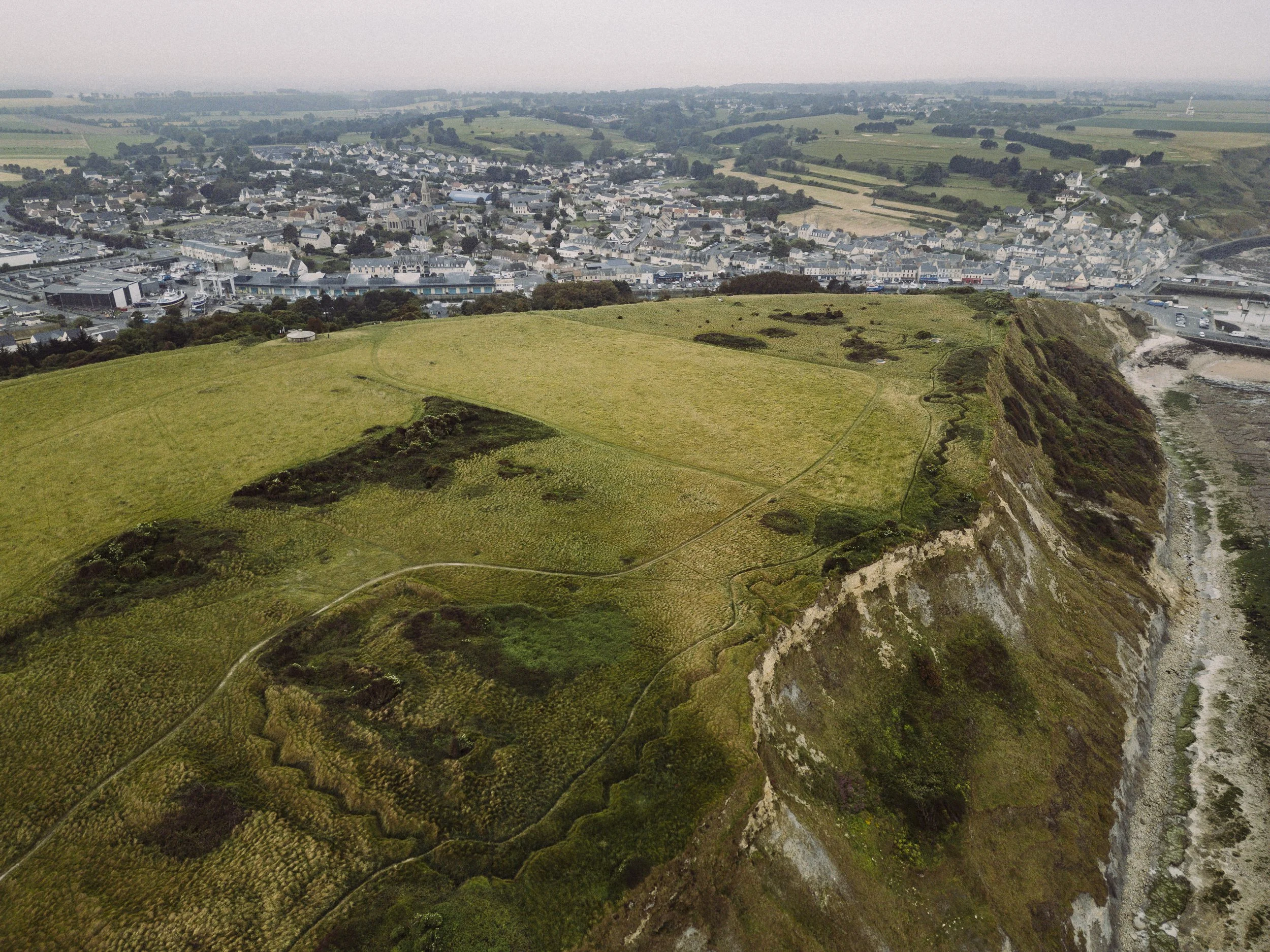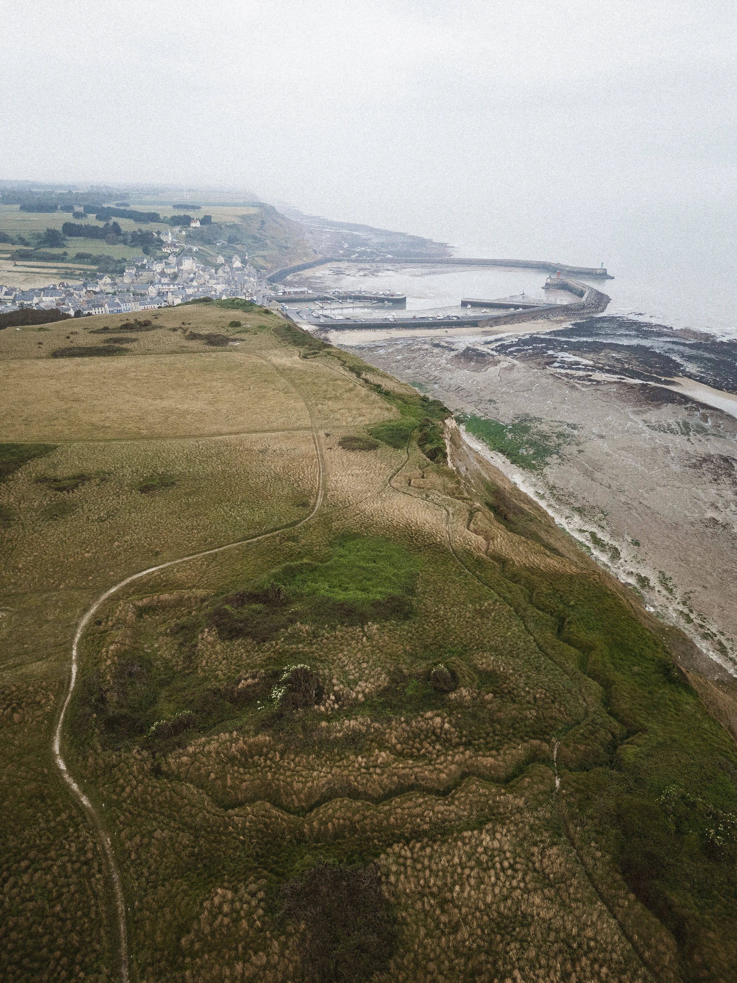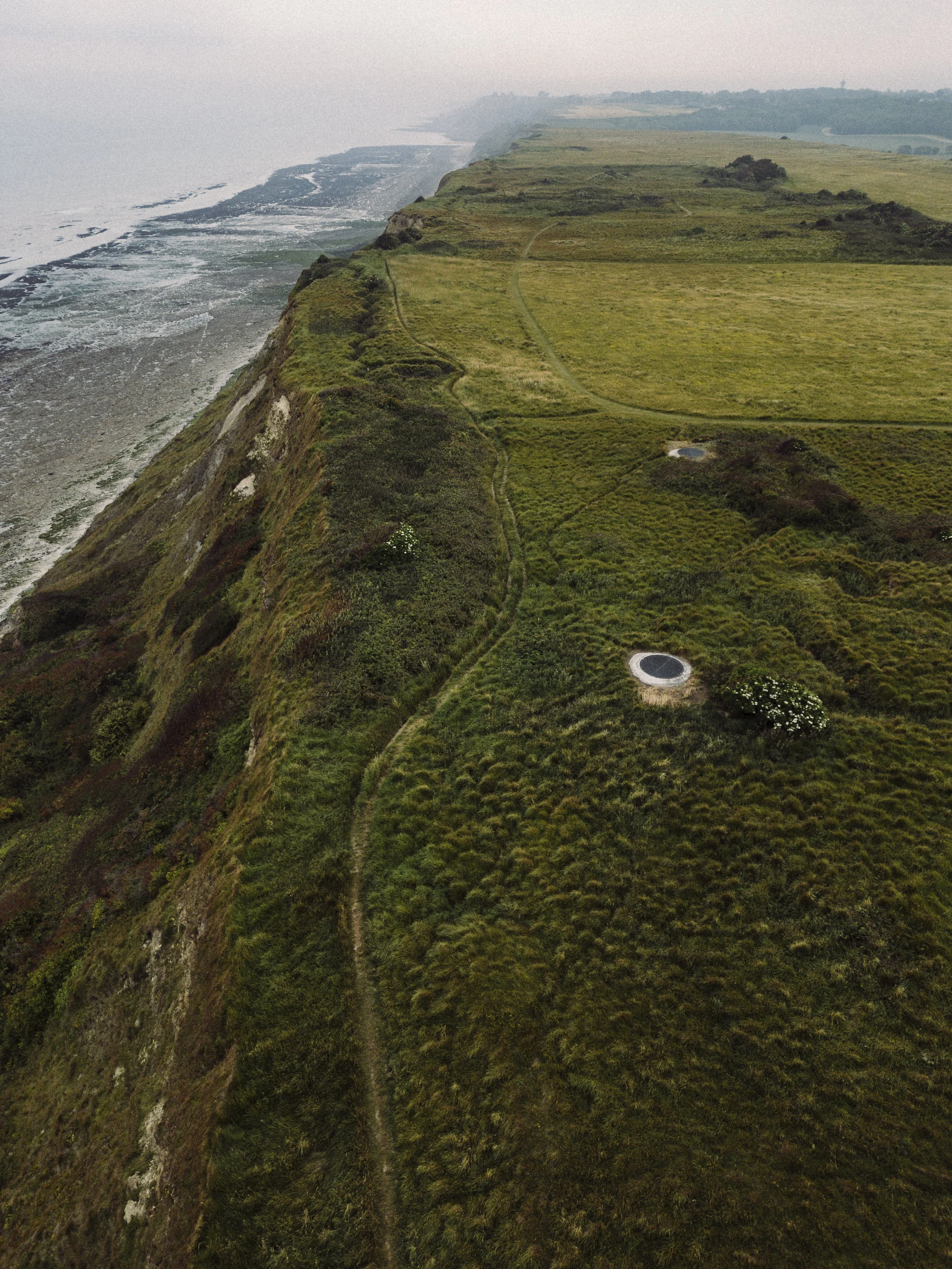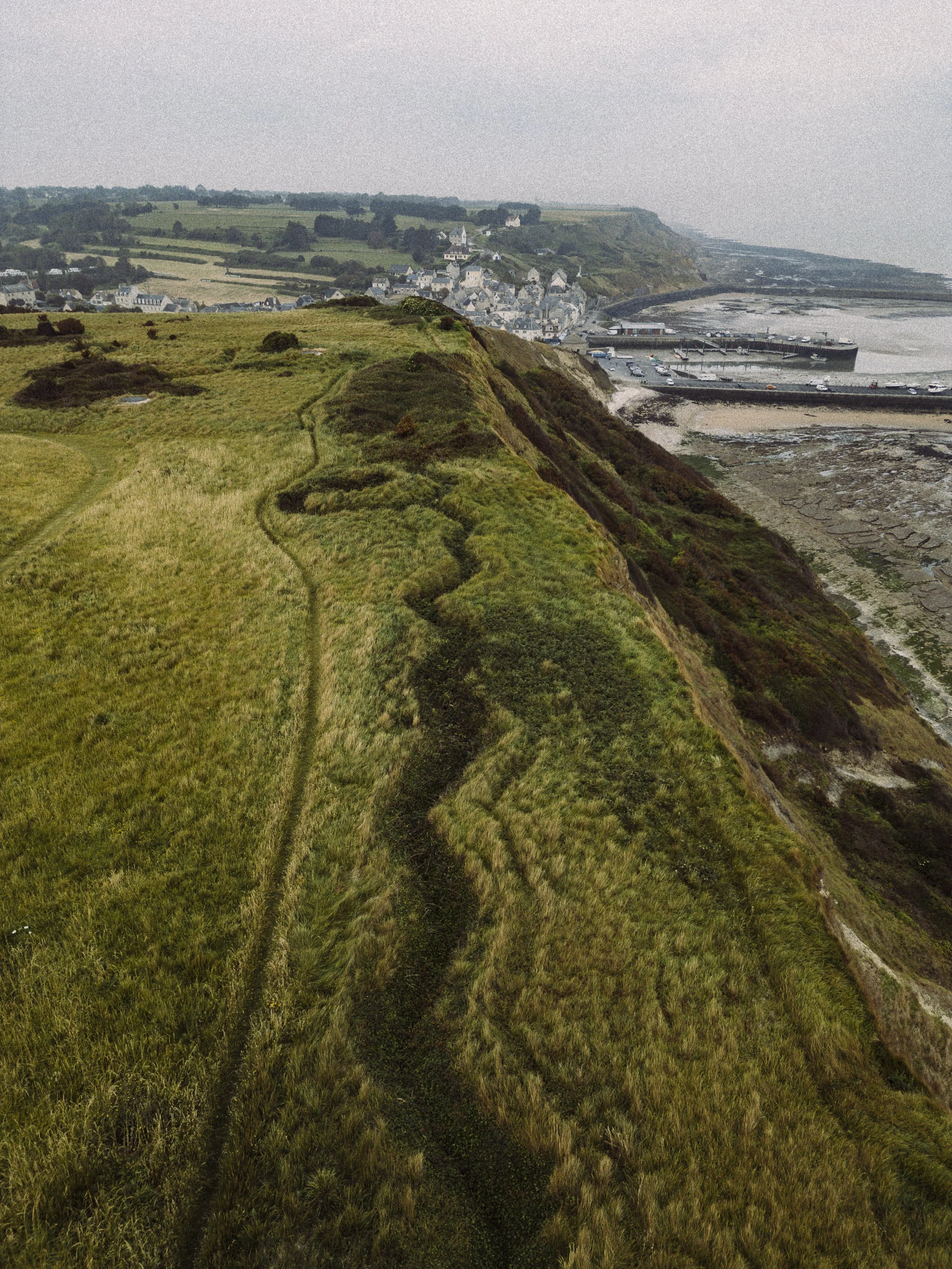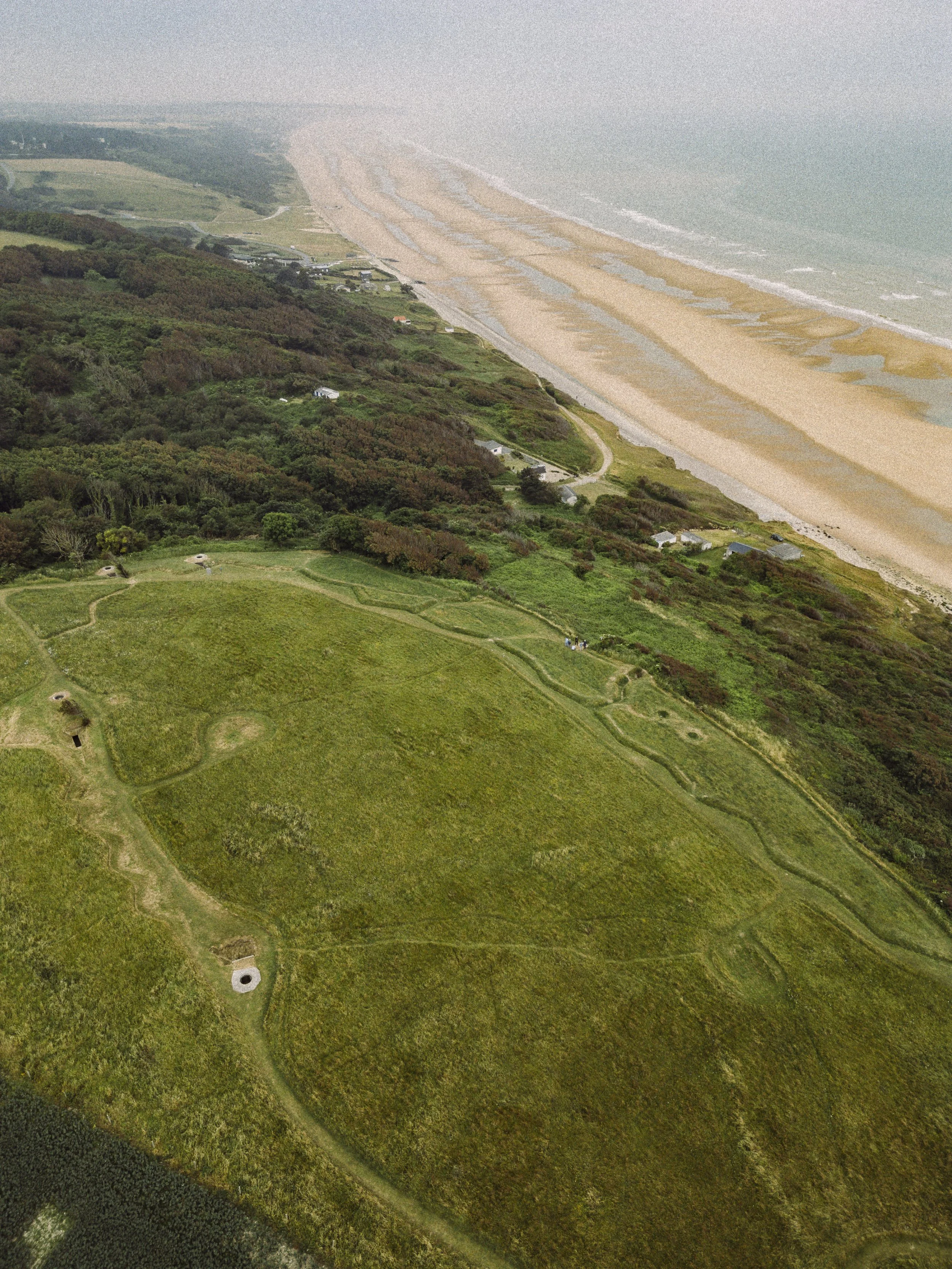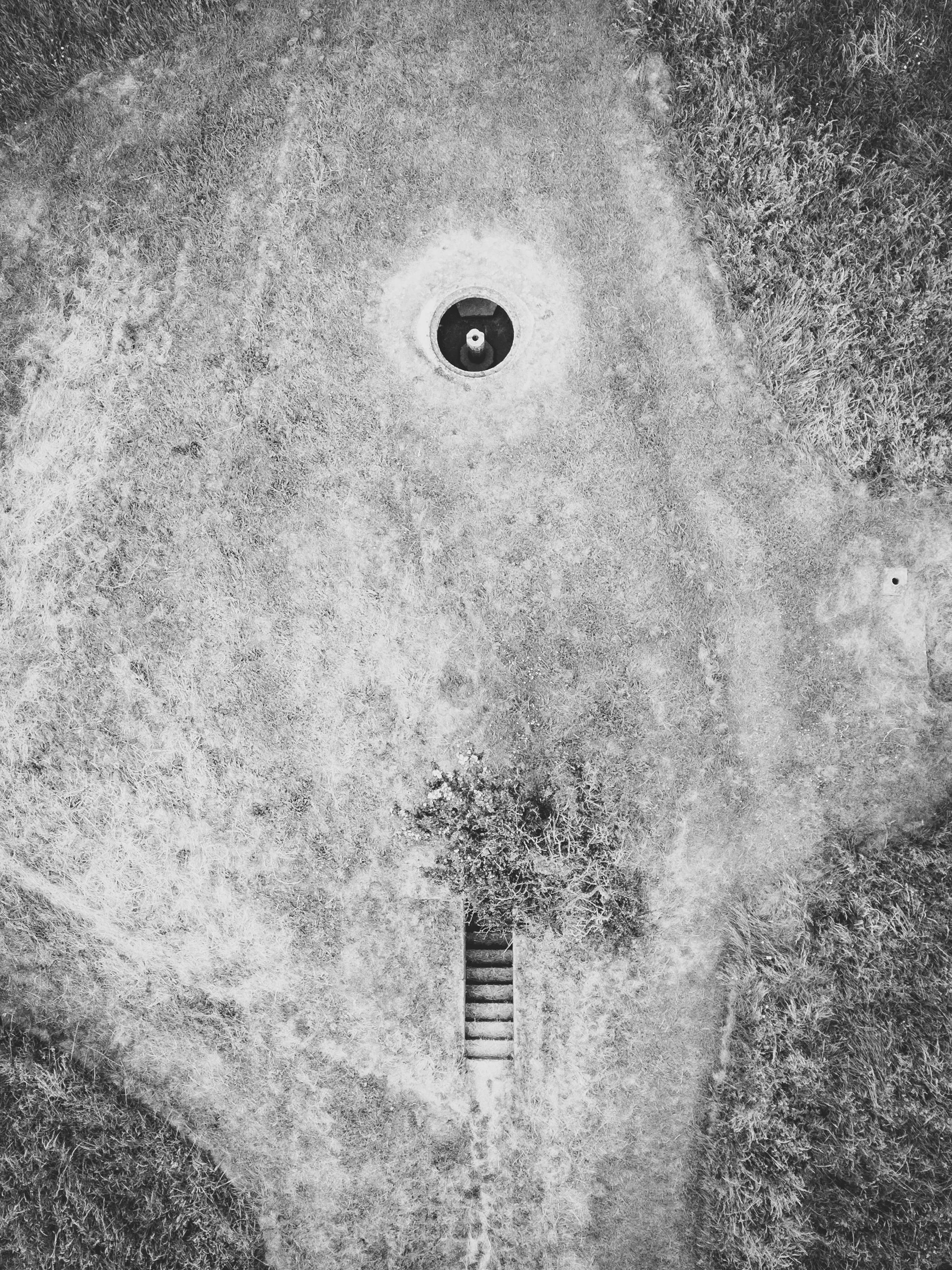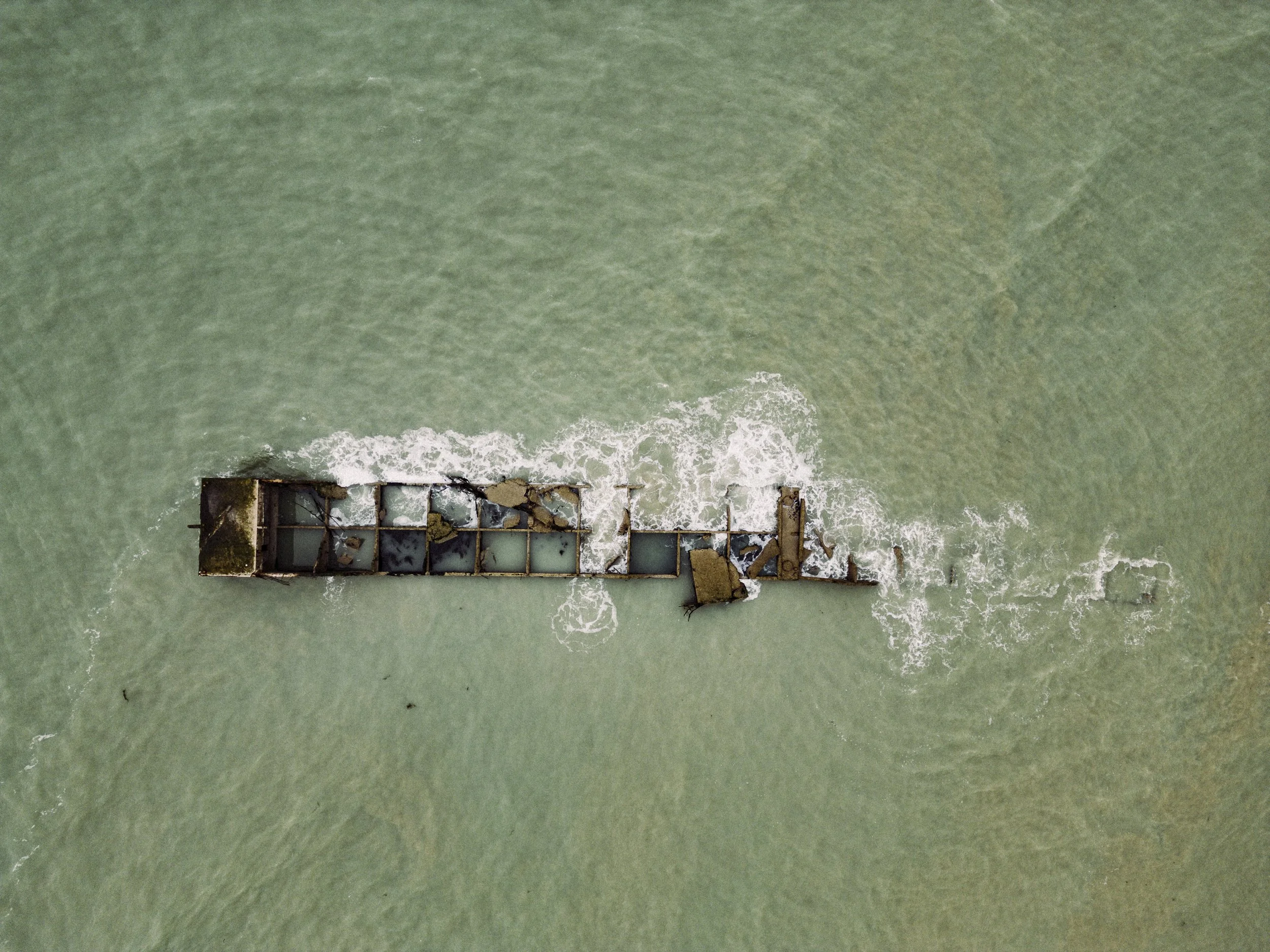

As part of a project to illustrate individual DDay Stories, I photographed the land and sea from above where these stories happened.
With the correct drone flying permissions and navigating airspaces controls, I captured the varied sea and landscapes of the DDay battles, from the decaying concrete of the Mulberry Harbour, to the zig zag trench lines at Port-en-Bessin and to the ghostly outlines of the long filled in tank ditch at Vers-sur-Mer.
The drone images are able to convey the scale of the DDay Operation in a unique way to enable a greater understanding of the terrain and strategic positions.
NORMANDY AERIAL